Wednesday 10th of August 2011
Mirriwinni | Broken Noise mountain hike ...weiterlesen "Mirriwinni – Broken Noise mountain hike"
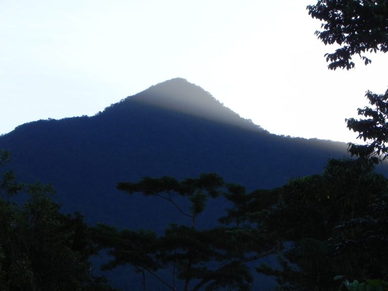
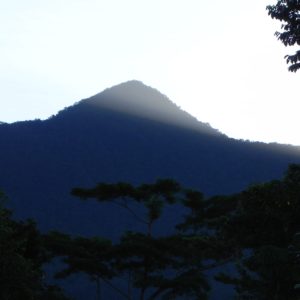
Mirriwinni – Broken Noise mountain hike 
Was war so los in den letzten Jahren?
Wednesday 10th of August 2011
Mirriwinni | Broken Noise mountain hike ...weiterlesen "Mirriwinni – Broken Noise mountain hike"
Monday 8th of August 2011
Magnetic Island - Mirriwinni ...weiterlesen "Travelling from Magnetic Island to Mirriwinni"
Miriwinni is situated in Cairns, Queensland, Australia, its geographical coordinates are 17° 24′ 0″ South, 145° 55′ 0″ East and its original name (with diacritics) is Miriwinni.
Miriwinni, a small rural town, is on the North Coast railway line, 55 km south of central Cairns and eight km south of Babinda. It is 10 km east of Mount Bartle Frere. The name is thought to derive from an Aboriginal expression indicating a mountain or rock.
With the exception of two swamp lands in the direction of the coast, the land around Miriwinni was eminently suited to sugar-cane. The Cairns-Babinda-Pawngilly railway was extended through Miriwinni in 1912 and a local primary school was opened four years later. In addition to cane, several farmers grew vegetables and tropical fruit. The post office directory (1949) recorded most land holders as ‚farmers‘, with only a few described as ‚cane farmers‘, and others were recorded as market gardeners. The town had three store-keepers, two drapers, a newsagent, a butcher and baker, and a blacksmith and fuel dealer. There were also a motor garage and a hotel.
A census population of 513 (1954) appears to have been the peak figure. Mixed agriculture has continued, with fruit and sugar. The cane is carried by a loop tramway, east and north to Babinda.