Wednesday, 03rd of August 2011
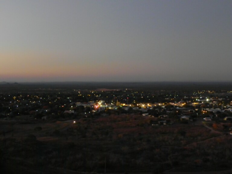
Driving from Charlton to Charters Towers ...weiterlesen "Driving from Charlton to Charters Towers"
Schlagwort: map
Driving form Injune to Takarakka camp site at Carnarvon Gorge
Saturday 30th July 2011
Driving from Injune to Takarakka camp site at Carnarvon Gorge and doing some hiking ...weiterlesen "Driving form Injune to Takarakka camp site at Carnarvon Gorge"
Blackheath: hiking Evans Lookout – Grand Canyon
Tuesday 12th of July 2011
Hiking around Blackheath
Govetts Leap - Evans Lookout - Grand Canyon - Neates Glen - Govetts Leap - Waterfall and up again
I went up to the Govetts Leap parking lot, got myself some info and a topographical map of the area at the visitors information centre.
I started at the cliff top track to Evans Lookout and descended to the Grand Canyon back up to Neates Glen.
I did the Brea Side walk and back up to Govetts Leap again.
Following Rodriguez Pass to the bottom of the Govetts Leap Brook waterfall and back up again the dropping wet vertical cliff walls, awesome!
Adelaide – Melbourne Flight – Ash Clouds
Wednesday 22dn 06. 2011
Stuck in Adelaide trying to fly out to Melbourne.
bendigoadvertiser:
The ash cloud, from a volcano in Chile, has caused havoc with air travel from airports in Melbourne, Canberra, Sydney, Adelaide and Tasmania.
Air-services Australia warned the ash cloud would cause disruptions in Melbourne until Friday.
I am sitting in the airport since 06:00 am, flight delayed, which is good, boarding hopefully 09:30 am and out to Melbourne.
Would be great!
Well I finally made it, I am in the city of Melbourne in a nice café with free web-access, had a good burger with chips and a coke. Everything is fine, besides the laundry, no place there really.
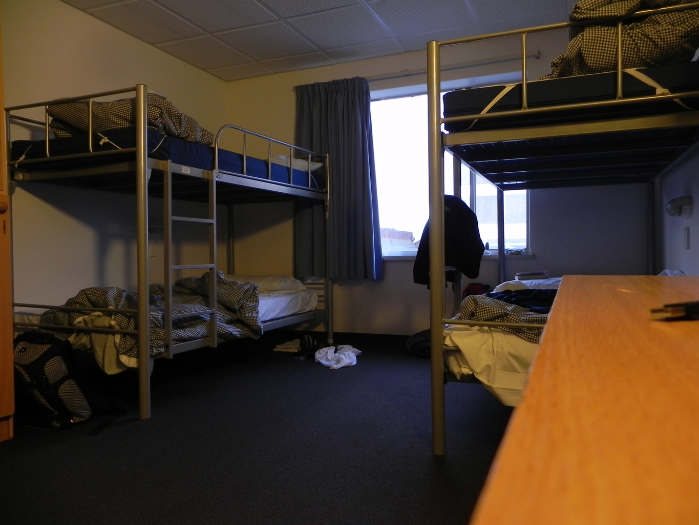
I stay in the Elephant Backpacker because I had a recommendation, but it is no good. With some luck only for this night, tomorrow I will be gone ... picking up the car and off we go.
I probably need a map and maybe some sort of car-charger as well.
I will see tomorrow. I am tired, up since 05:00.
Tools online
Maßnahmen nach Schlangenbiss
• Ruhig stellen der betroffenen Extremität
• Beruhigen des Patienten
• Kühlende Umschläge, jedoch kein starkes Kühlen
• Eventuell Schmerzmittel
• Keine Manipulationen an der Bissstelle (kein Aussaugen, Ausschneiden oder Ausbrennen)
• Kein Abbinden, Bissstelle aber desinfizieren
• Gegebenfalls Kreislaufstabilisierung
• Transport in eine Klinik
(Während des Transports sollte sich der Patient so wenig wie möglich bewegen.)
• Tetanusprophylaxe ok
• Ärztliche Überwachung:
- Immer 3 Stunden, falls Symptome auftreten, mindestens 24 Stunden klinisch überwachen!
- Bei Hypotonie + Schock + Allergie: Corticoide + Antihistaminikum
• Bei Schwellung:
- Am wichtigsten Ruhigstellung!
- Frühzeitige Gabe von Antiserum scheint bei genügender Dosis wirksam zu sein
(Vipera TAB 200-400 mg), eventuell nach Stunden wiederholen.
- Antiserum nur, wenn eindeutig sinnvoll, nur vom Arzt und nur im Krankenhaus!
Category description
A map is a visual representation of an area—a symbolic depiction highlighting relationships between elements of that space such as objects, regions, and themes.
Many maps are static two-dimensional, geometrically accurate (or approximately accurate) representations of three-dimensional space, while others are dynamic or interactive, even three-dimensional. Although most commonly used to depict geography, maps may represent any space, real or imagined, without regard to context or scale; e.g. brain mapping, DNA mapping, and extraterrestrial mapping.
Cartography or map-making is the study and practice of crafting representations of the Earth upon a flat surface (see History of cartography), and one who makes maps is called a cartographer.
Road maps are perhaps the most widely used maps today, and form a subset of navigational maps, which also include aeronautical and nautical charts, railroad network maps, and hiking and bicycling maps. In terms of quantity, the largest number of drawn…
